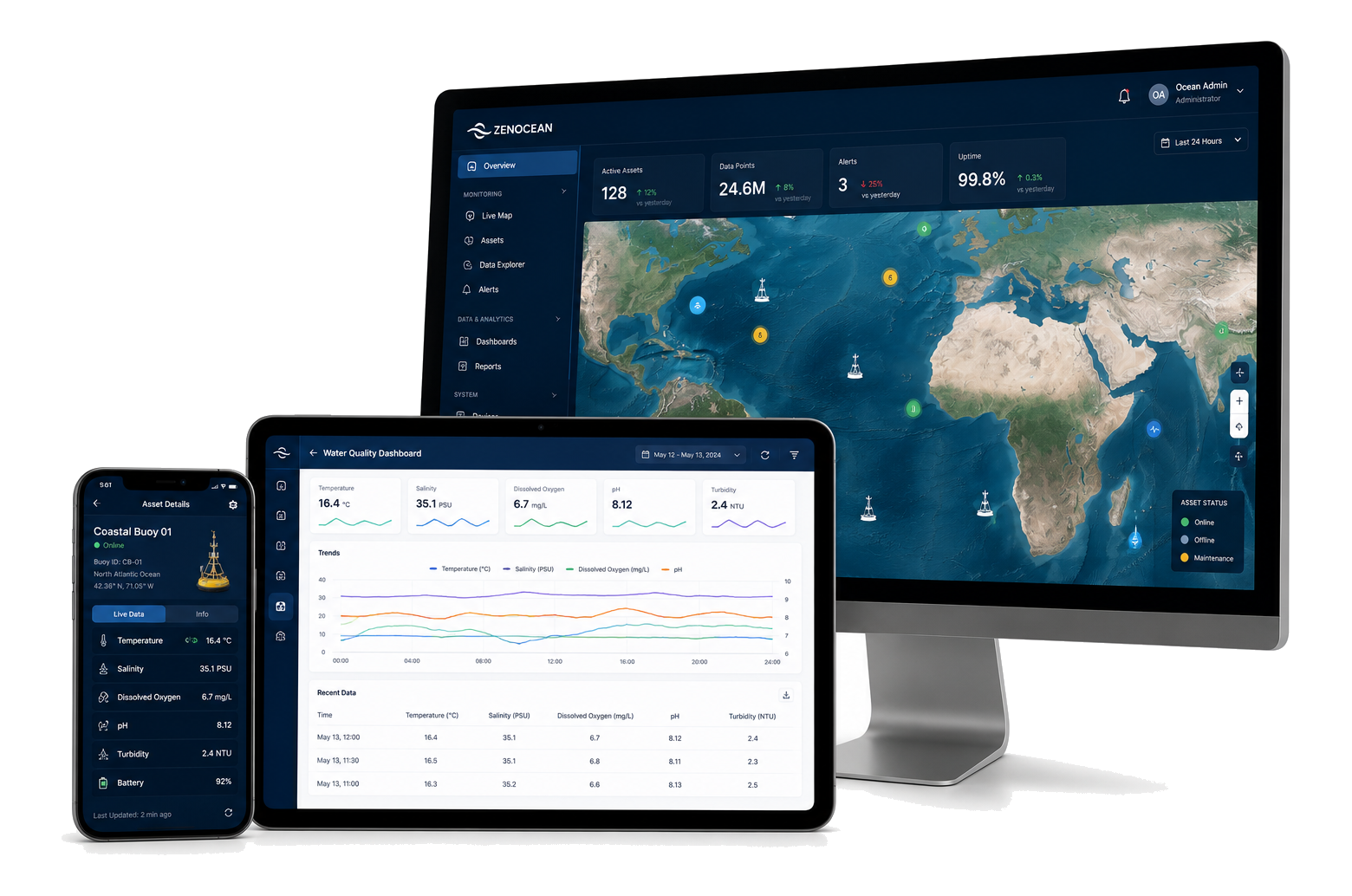
Coastal Observation Solution

Combine meteorological, oceanographic and water-quality products into a nearshore observation network for ports, estuaries, beaches and coastal management programs.

What's the Problem?

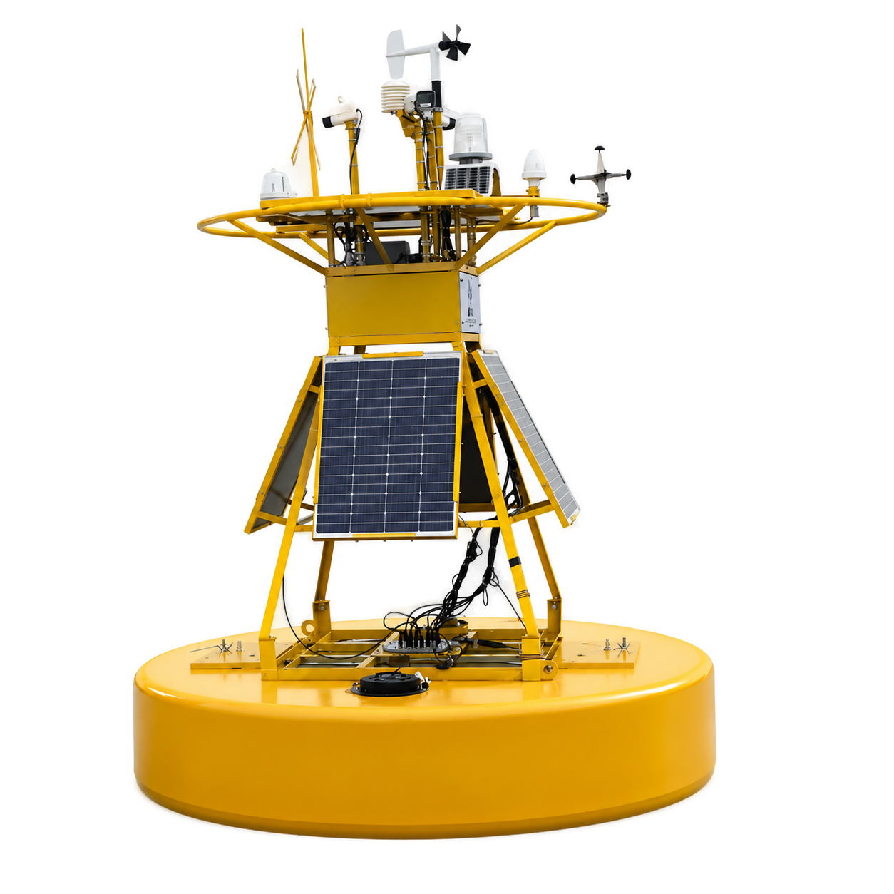
Coastal managers need a shared view of waves, currents, water quality and weather to protect assets, support navigation and understand environmental change.

  • Nearshore conditions can shift rapidly during weather events and runoff episodes
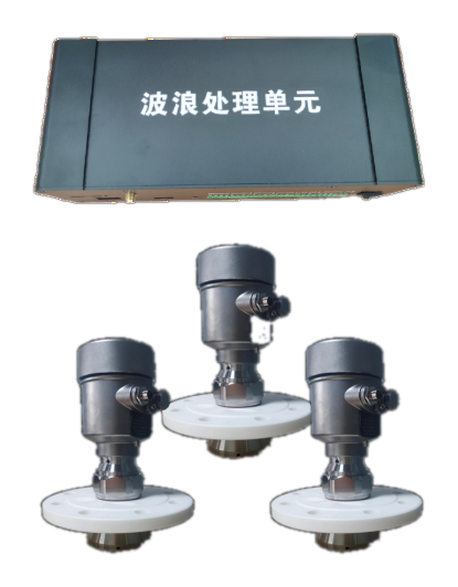
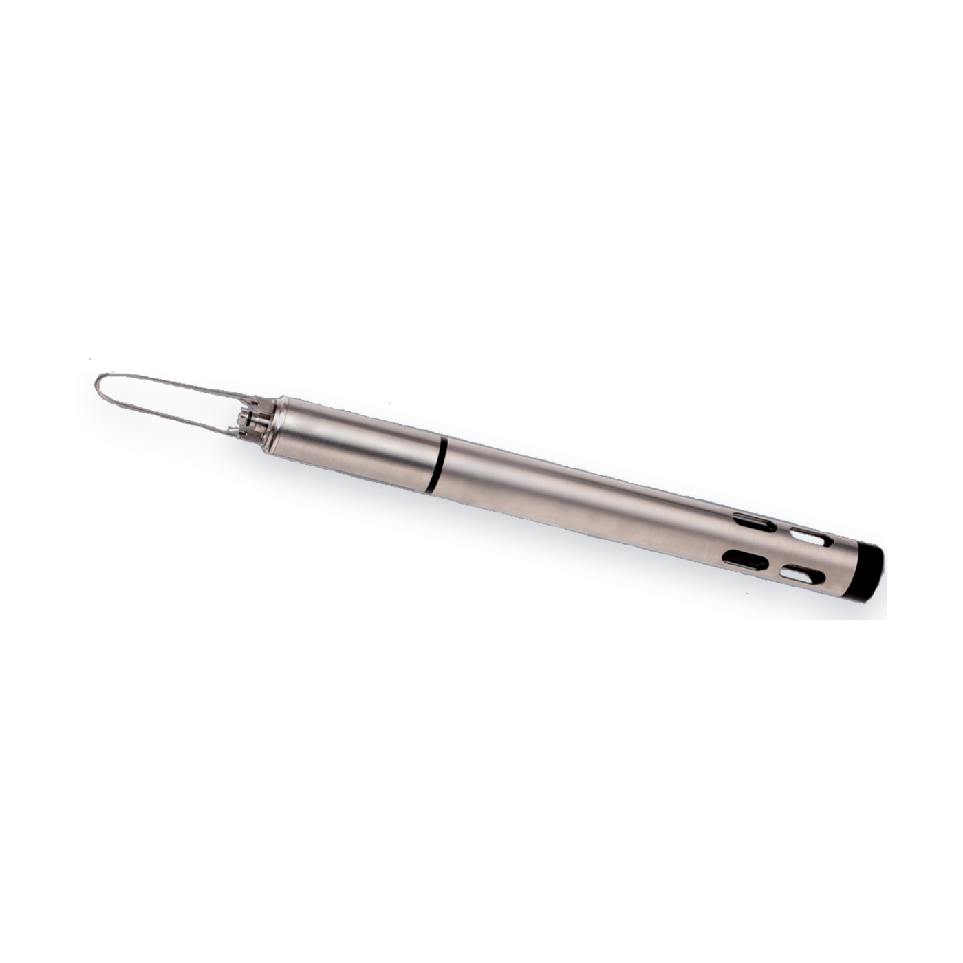
  • Project teams often rely on separate instruments and isolated data stores
  • Short-lived turbidity, bloom or salinity events are easy to miss
  • Stakeholders need one operating picture across engineering and environmental teams

What's the Challenge?

Coastal sites are dynamic, corrosive and operationally busy. Systems must handle mixed payloads, public-facing locations and long-duration deployments.

  • Platforms need to support multiple instrument types on one station
  • Telemetry must bridge shore, nearshore and exposed coastal locations
  • Maintenance windows may be limited by sea state and vessel availability
  • Decision-makers need both environmental context and engineering-grade measurements

Our Solution

Zenocean builds coastal stations around smart buoys, wave instruments, CTD sensing and water-quality sondes so one network can support both operations and environmental programs.

  • Deploy integrated stations instead of isolated single-parameter devices
  • Measure the physical ocean and water quality in one architecture
  • Stream data to remote teams for alerts, analysis and reporting
  • Extend from a single pilot site to a corridor or bay-wide network

How Zenocean Delivers the Coastal Observation Solution

WaveSense-R radar wave sensor

1. Measure the Nearshore Environment

Wave, CTD and water-quality instruments capture the combined ocean and environmental story at each station.

OceanStation buoy platform

2. Host Mixed Payloads

OceanStation provides the buoy platform for multi-sensor coastal payloads and project-specific power budgets.

AquaSense-Multi multiparameter sonde

3. Add Water Quality Context

AquaSense-Multi adds dissolved oxygen, pH, salinity, turbidity and algae parameters where ecology or compliance matters.

Cloud dashboard for coastal monitoring

4. Push Data to Shore

Telemetry and dashboards consolidate instrument streams for environmental teams, consultants and project owners.

Integrated coastal observation case image

5. Support Ongoing Management

Operators can track baseline conditions, detect anomalies and document change over seasons or construction cycles.

Why This Stack Works for Coastal Programs

Coastal projects usually need more than one discipline of data. The current catalog already covers the multi-domain payload mix those sites require.

Multi-Domain Coverage

Wave, CTD, weather and water-quality payloads can be combined into one station design.

Live Coastal Awareness

Teams get a common view of changing nearshore conditions without waiting for manual downloads.

Project-Ready Reporting

Cloud delivery simplifies stakeholder reporting, alarms and historical review.

Flexible Station Design

The same approach can fit estuaries, beaches, harbors and nearshore engineering corridors.

Need a coastal observation layout matched to your shoreline?

We can help define the right mix of buoy, wave, CTD and water-quality products for your program.